Tides Forecast

| Today | Tomorrow | |
|---|---|---|
| Sunrise: | ||
| Sunset: |
Expires:202407272200;;367523
FZPQ52 PGUM 270613
CWFPQ2

Coastal Waters Forecast for WESTERN MICRONESIA
National Weather Service Tiyan GU
413 PM ChST Sat Jul 27 2024

Western Micronesia Waters out to 40 nautical miles


PMZ161-272200-
Palau Coastal Waters-
413 PM ChST Sat Jul 27 2024

...SMALL CRAFT ADVISORY NO LONGER IN EFFECT...

.TONIGHT...South wind 10 to 15 kt. Wind waves 2 to 3 ft. East swell
2 to 3 ft. Scattered showers and isolated thunderstorms.
.SUNDAY...South wind 5 to 10 kt. Wind waves 2 ft or less. East swell
2 to 3 ft. Scattered showers and isolated thunderstorms.
.SUNDAY NIGHT THROUGH TUESDAY...South wind 5 to 10 kt, becoming
variable Monday night. Wind waves 2 ft or less. East swell 2 to 3 ft.
.WEDNESDAY AND THURSDAY...West to southwest wind 5 to 15 kt. Wind
waves 1 to 3 ft. East to southeast swell 2 to 3 ft. Chance of
showers.

$$
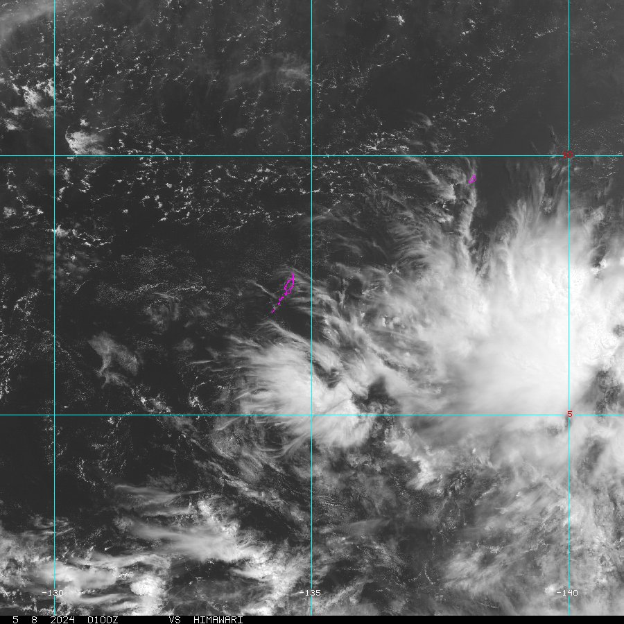
These plots show recent weather data to assist an observer with detecting weather patterns.
Copyright ©2024 Regents of the University of California. All rights reserved.
![]() Official web page of the University of California, San Diego.
Official web page of the University of California, San Diego.