Tides Forecast

| Today | Tomorrow | |
|---|---|---|
| Sunrise: | ||
| Sunset: |
Expires:202512150800;;582539
FZPQ52 PGUM 141850
CWFPQ2

Coastal Waters/Island Forecast for Western Micronesia
National Weather Service Tiyan GU
450 AM ChST Mon Dec 15 2025

Coastal waters extend out to 40 nautical miles


PMZ161-150800-
Palau Coastal Waters-
450 AM ChST Mon Dec 15 2025

.TODAY...Northeast wind 10 to 15 kt. Wind waves 2 to 3 ft. Northeast
swell 3 to 5 ft. Partly cloudy with isolated showers. Highs near 88.
Lows around 78. Chance of showers 20 percent.
.TONIGHT...Northeast wind 10 to 15 kt. Wind waves 2 to 3 ft.
Northeast swell 3 to 5 ft. Partly cloudy with isolated showers. Highs
near 88. Lows around 78. Chance of showers 20 percent.
.TUESDAY...Northeast wind 10 to 15 kt. Wind waves 2 to 3 ft. East
swell 4 to 6 ft. Partly sunny with scattered showers and isolated
thunderstorms. Highs near 87. Chance of showers 40 percent.
.TUESDAY NIGHT...East wind 10 to 15 kt. Wind waves 2 to 3 ft. East
swell 5 to 7 ft and north 3 ft. Mostly cloudy with scattered showers
and isolated thunderstorms. Lows around 79. Chance of showers
40 percent.
.WEDNESDAY...East wind 10 to 20 kt. Wind waves 2 to 4 ft. East swell
4 to 6 ft and north 3 ft. Mostly cloudy with a 50 percent chance of
showers and slight chance of thunderstorms. Highs in the upper 80s.
Lows in the upper 70s.
.THURSDAY AND FRIDAY...East wind 10 to 15 kt. Wind waves 2 to 3 ft.
Northeast swell 5 to 7 ft. Mostly cloudy with a 50 percent chance of
showers and slight chance of thunderstorms. Highs in the upper 80s.
Lows in the upper 70s.

$$
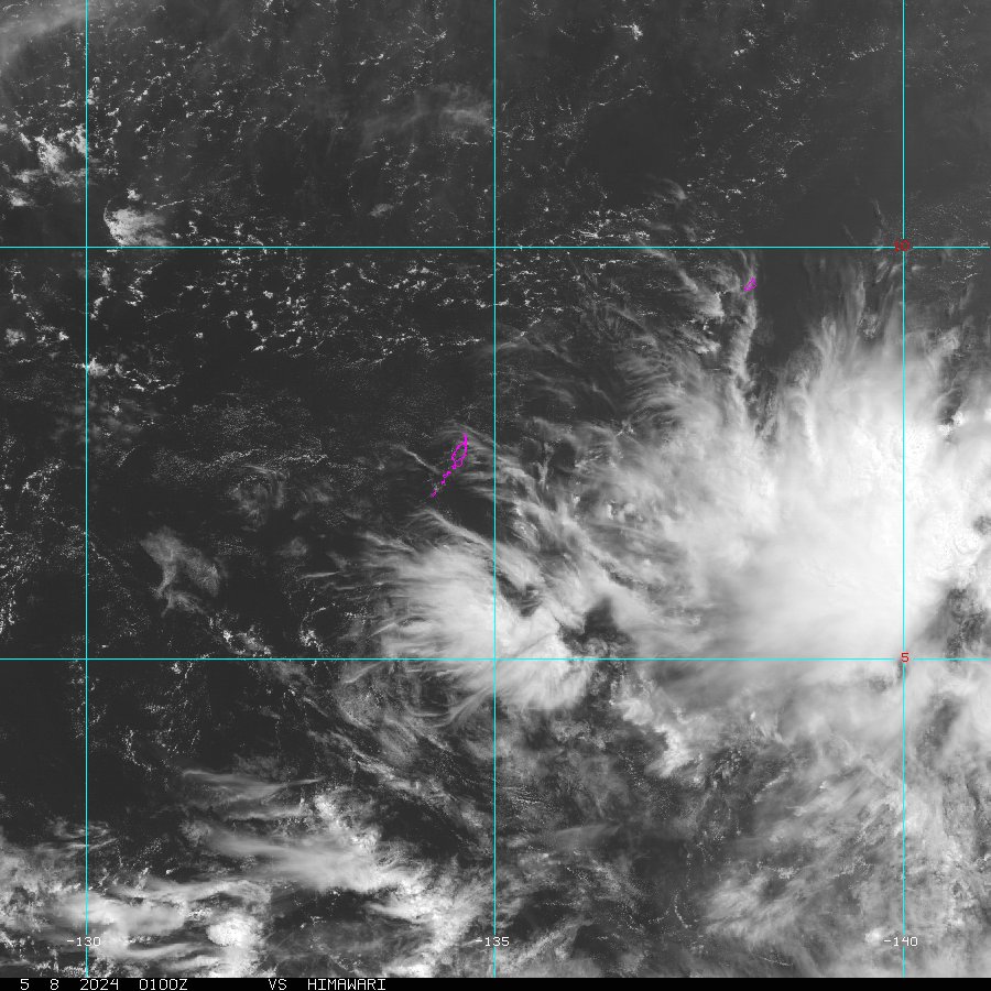
These plots show recent weather data to assist an observer with detecting weather patterns.
Copyright ©2025 Regents of the University of California. All rights reserved.
![]() Official web page of the University of California, San Diego.
Official web page of the University of California, San Diego.